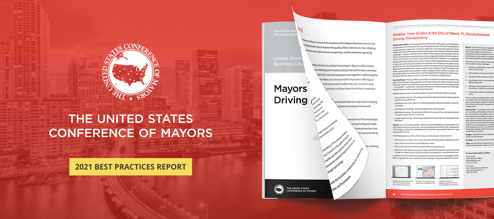
The following text is taken from the United States Conference of Mayors Business Council 2021 Best Practices Report. To view the full report, please navigate here: usmayors.org/wp-content/uploads/2021/10/Final-2021-BC-Best-Practice-Report.pdf
Register for Upcoming Webinar: webinars.gridics.com
How Gridics & the City of Miami, FL Revolutionized Zoning Transparency
Project Description: Zoning regulations are difficult for staff, citizens, and developers to understand and interpret at the individual property level. This leads to bottlenecks in development approvals, increases staff time to service daily questions from citizens, and causes a lack of transparency around solving housing, resiliency, and sustainability challenges.
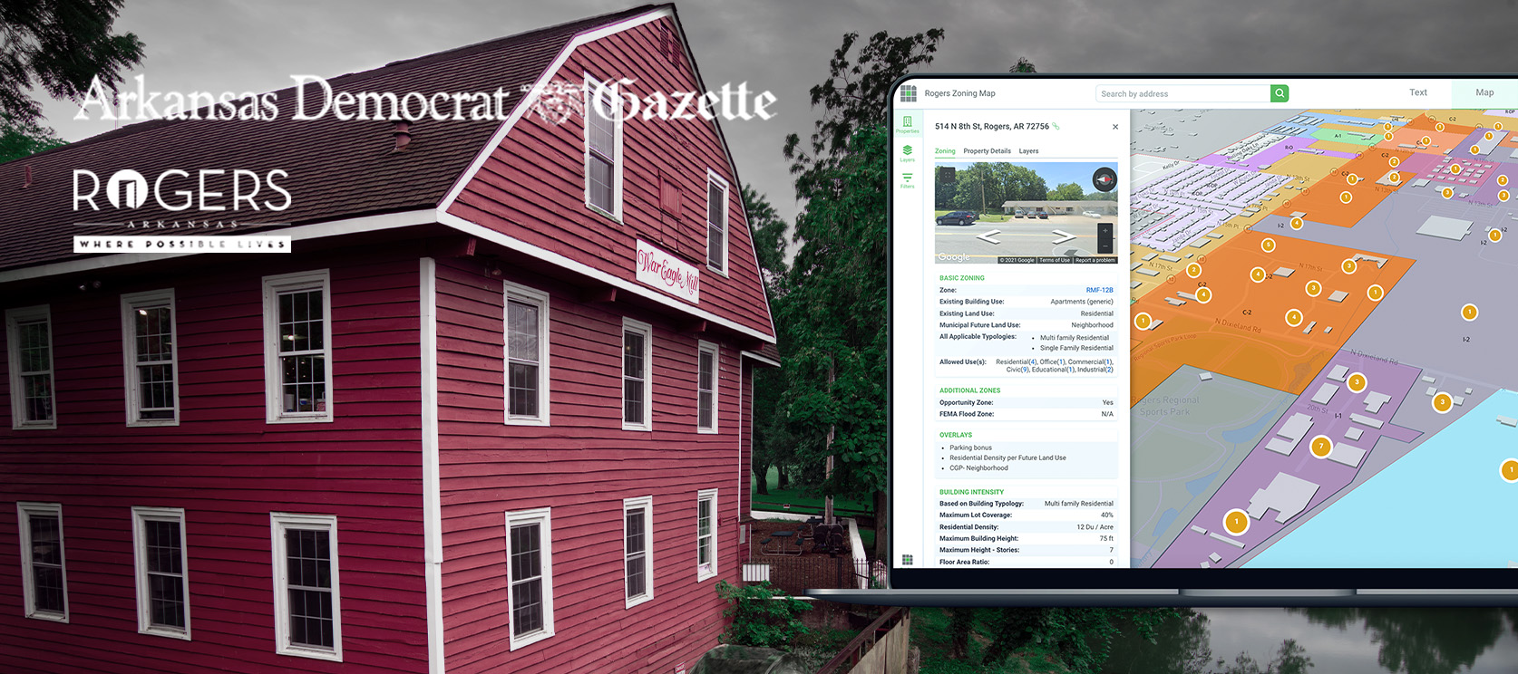
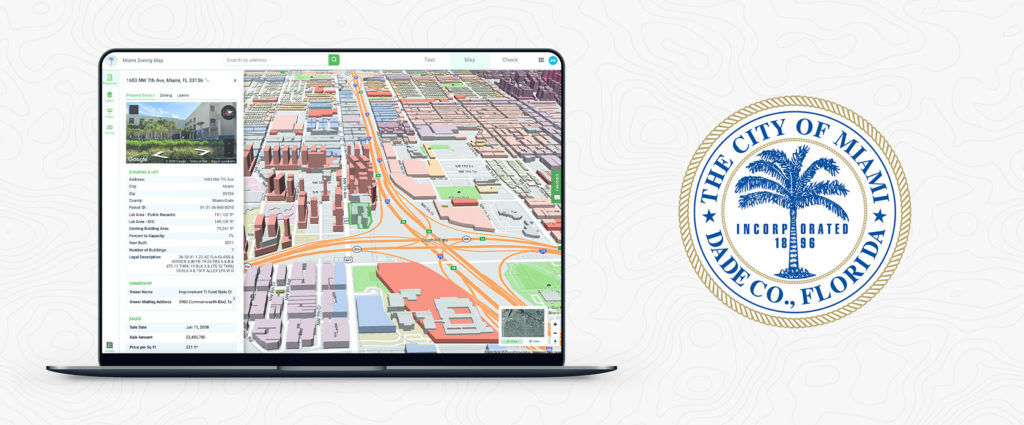
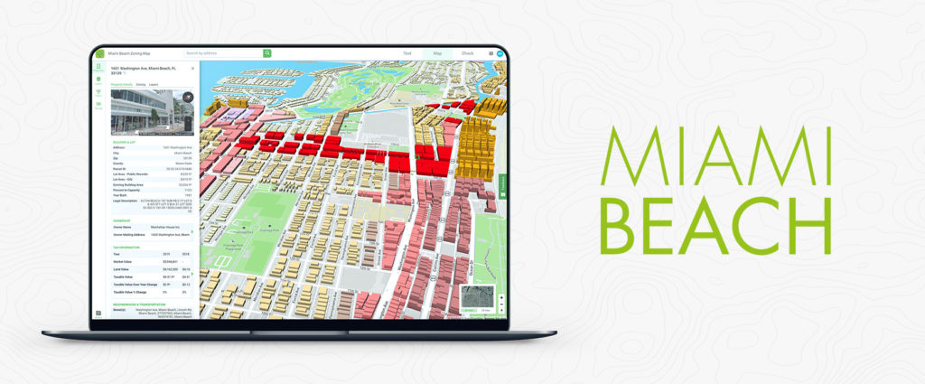
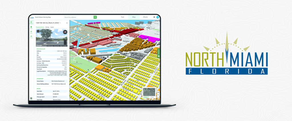
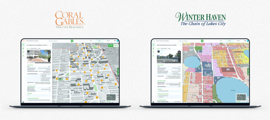
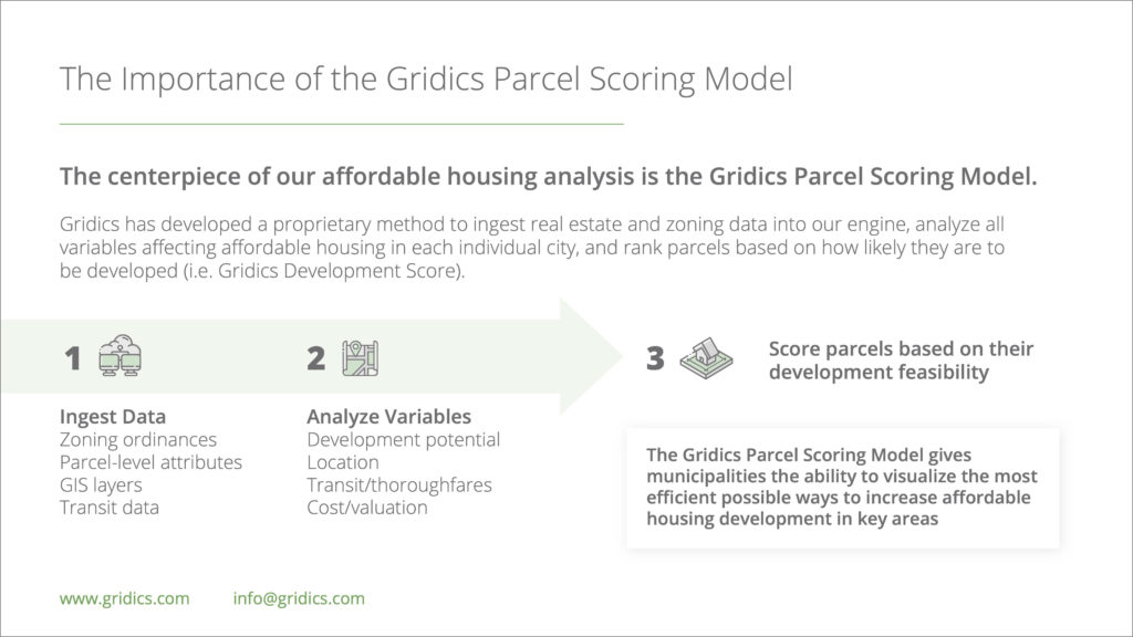
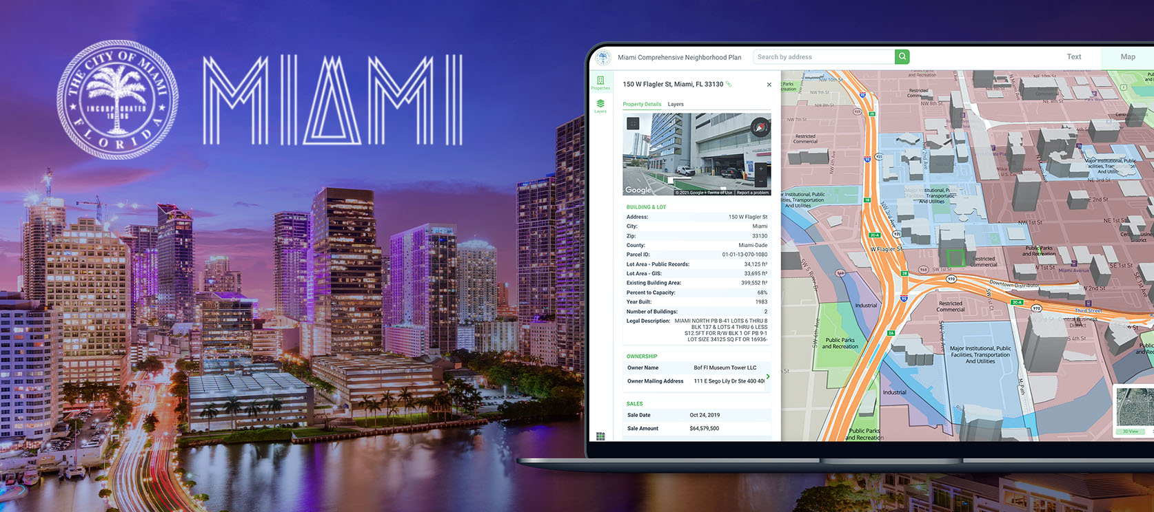
Together with the City of Miami’s Planning and Zoning Departments, Gridics developed a comprehensive zoning management platform that has been in use across the City since 2016. At the heart of the Gridics platform is its patented zoning calculation engine that combines measurable zoning regulations as outlined in the code with GIS parcel analysis to calculate over 30 data points about every parcel in the city. Once calculated, the city has a foundational zoning property record data set that heretofore has never existed at scale.
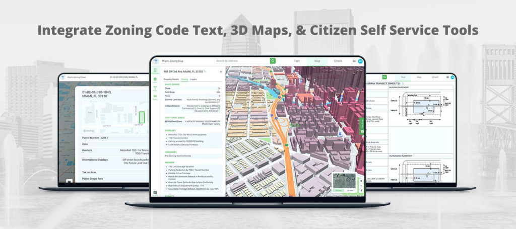
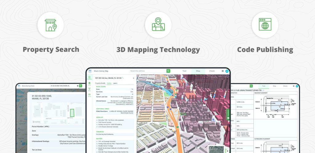
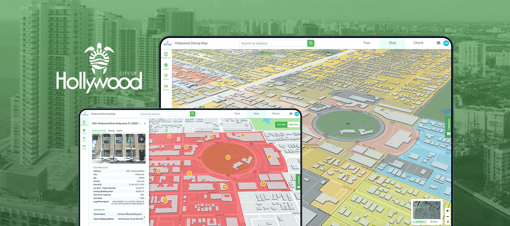
Sitting on top of this data is the Gridics zoning information platform which integrates citizen self service tools, realtime code publishing, site analysis, and 3D mapping technology that makes it easy for cities to better service citizens and make smarter planning decisions.
City Challenge: The City of Miami and Gridics have been focused on the overarching goal of translating zoning regulations to the parcel level to make it easier for all to interpret, analyze, and understand. Zoning is too complicated and should promote — not impede — sustainable, equitable development. Addressing these challenges has defined the Gridics partnership from day one.
Additional pain points the Gridics platform solves for the City of Miami include:
- Front counter inquiries: Providing virtual citizen self service tools to look up parcel specific zoning attributes
- Outdated online code: Real-time staff editing allows code text updates in seconds, not weeks
- Development backlogs: Streamlining the plan review process
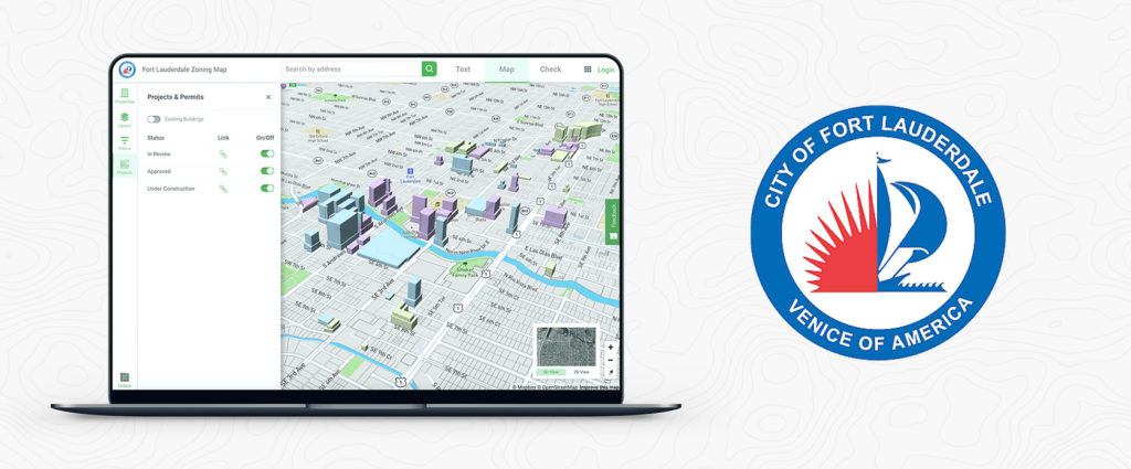
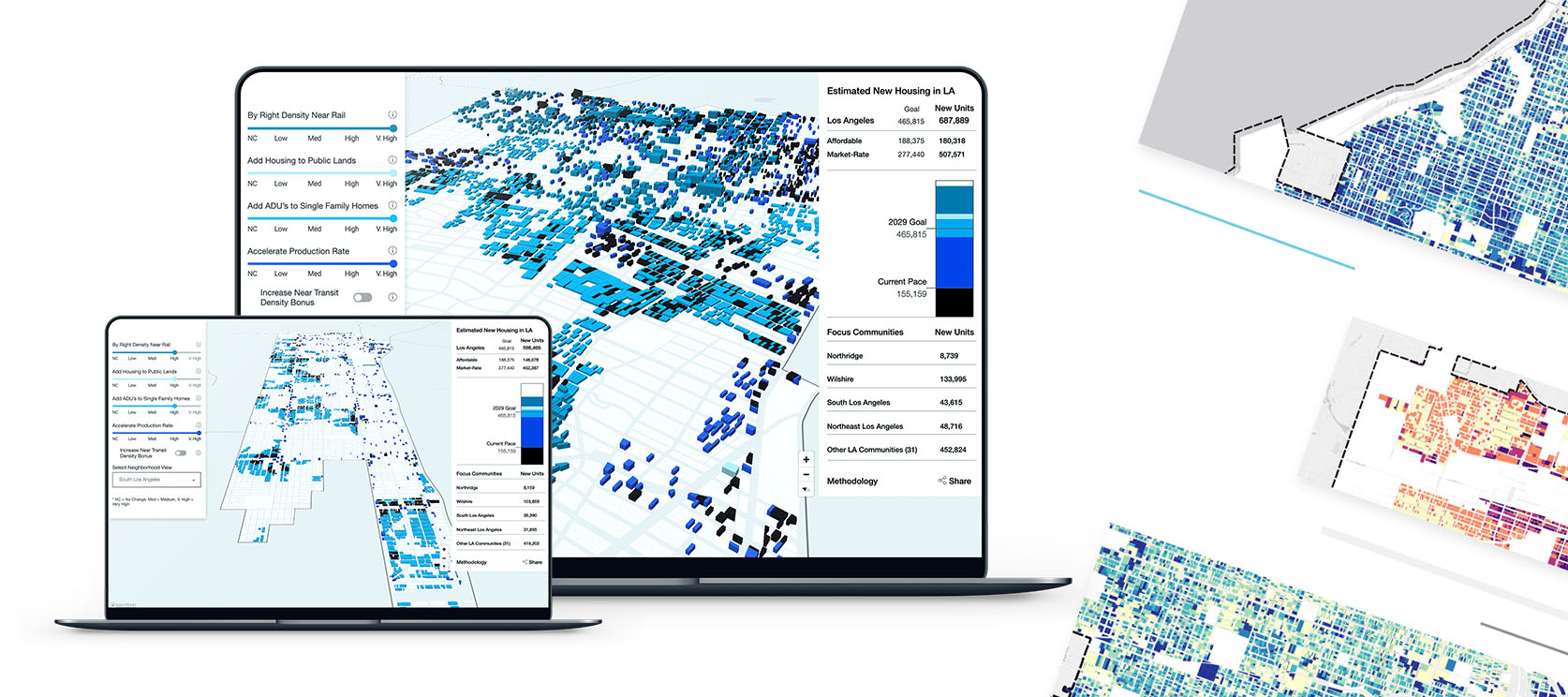
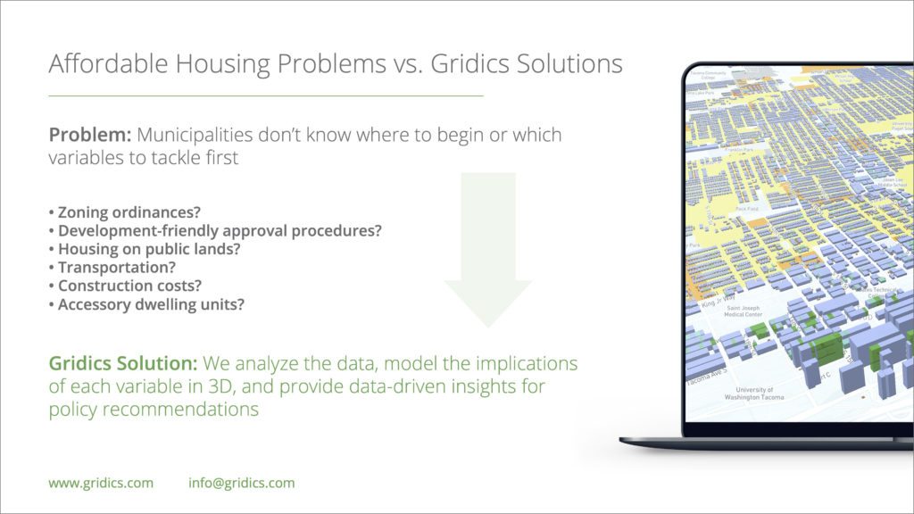
- Affordable Housing: Visualizing the effect of zoning and housing capacity based on policy levers in a 3D map
- Long Range Planning: Visualizing proposed zoning changes to make data driven decisions
Impact: Use of the Gridics platform delivers value to 6 different divisions within the City of Miami (Planning, Zoning, Building & Permitting, GIS, Information Technology and Economic Development) and drives thousands of dollars in cost savings each month.
The following are just a few of the many concrete process improvements:
- 60% decrease in citizen calls, emails, & visits to the planning/zoning front counter
- Up to 9 hours of staff time saved PER plan review
- Over 5,000 visits per month to online Gridics zoning resources
- Real-time code updates across text, maps, and self-service tools as soon as zoning changes are approved by City Commission compared to 6+ months delay prior
In addition to these efficiency improvements, Gridics delivers an intangible impact that is arguably the most important of all: making zoning accessible for everyone.
How-To: The Gridics zoning management platform was developed in close collaboration with City of Miami staff starting in 2016. The partnership began with questions… What aspect of zoning management is most cumbersome for staff? How could we make zoning easier for the public to understand? Which tools might encourage equitable real estate development in the private sector?
From there, the focus then turned towards building technology tools to address these challenges:
- Creating a mathematical rules engine to digitize the City of Miami’s zoning code
- Applying those rules to the 3D built environment
- Testing the code calibration with City staff and developers
- Developing a plan review application to interact with the digital zoning code
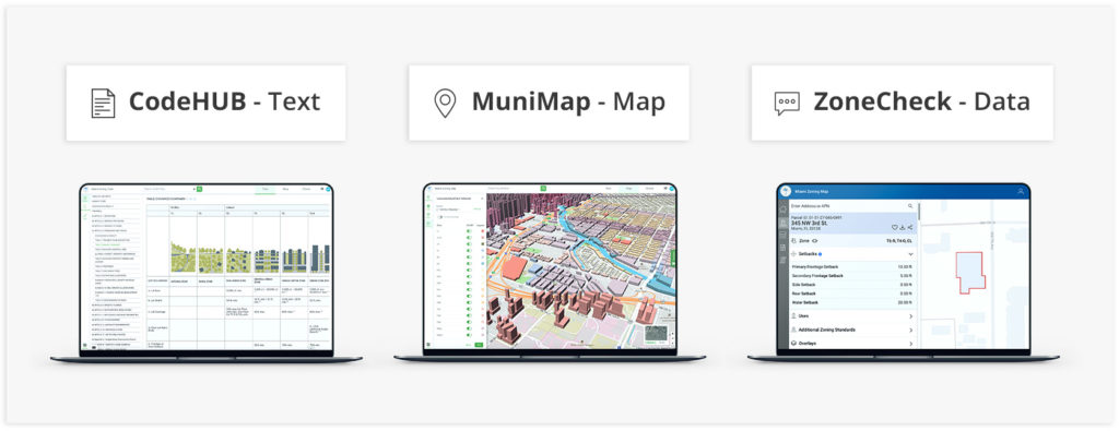
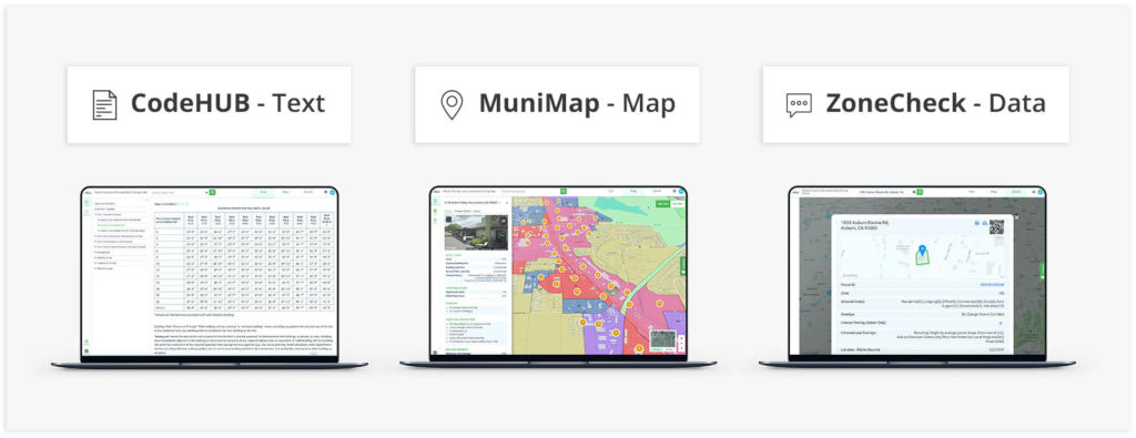
- Molding the Gridics platform into three integrated applications (ZoneCheck, CodeHUB, and MuniMap)
- Promoting the platform for widespread use among the private sector
From conception to implementation, the project took approximately 12 months. Over the following 4 years, the Gridics platform has grown to encompass millions of real estate data points across the City of Miami and handle thousands of web visits per month to its 3 applications.
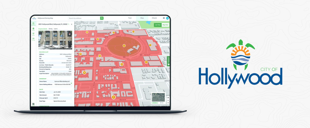
General Tips: The beauty of the Gridics zoning platform lies in its scalability and flexibility. While building the rules engine for the City of Miami, the platform was engineered to handle both form-based and Euclidean zoning codes (metric and imperial conversions) for dense urban cities and suburban environments alike.
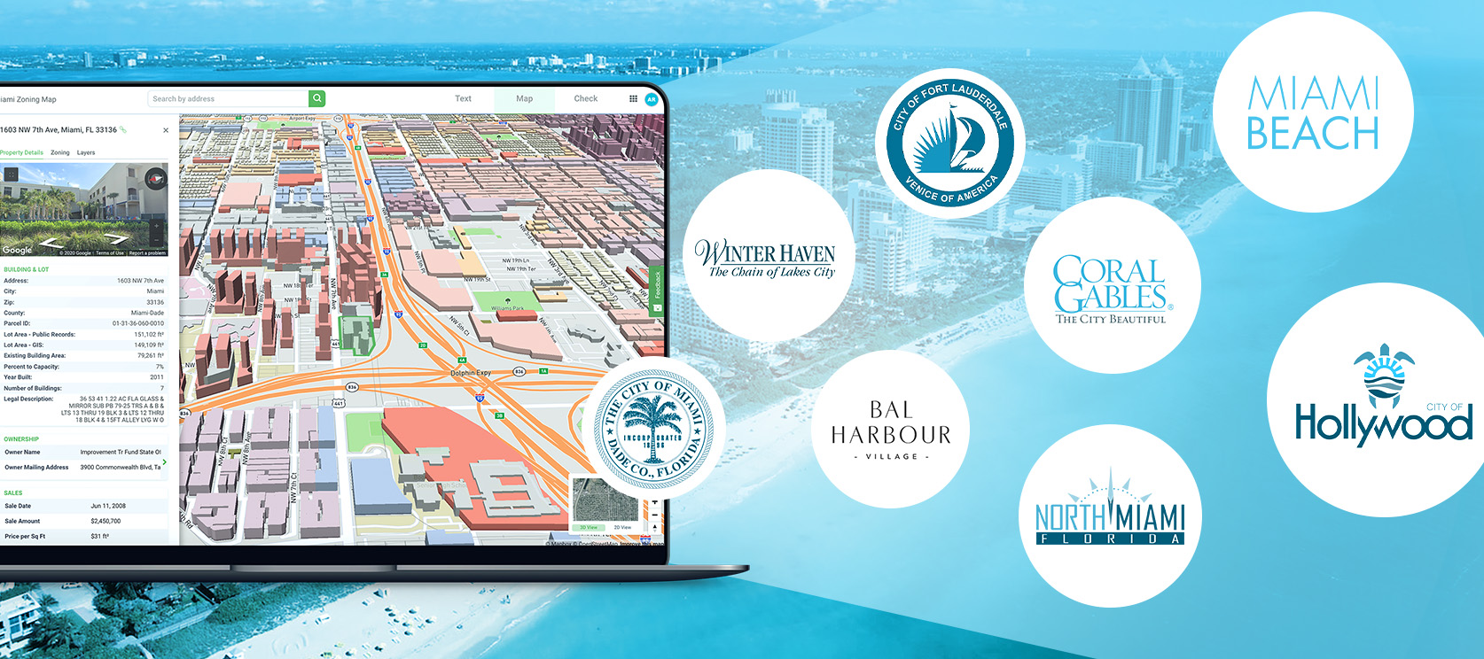
Miami proved to be the perfect development partner thanks to its new form-based code and unprecedented growth, however, Gridics can be leveraged just as easily in smaller municipalities. Cities large and small can now take advantage of a modern cloud based app and data platform that would cost millions for any city to develop on their own.
Budget: $60,000 Per Year for platform license, support & maintenance
Funding: General Purpose City Funds