Request Demo

Citizens and City Staff Deserve Intelligent Zoning Tools: Here’s What That Looks Like

Think about the last time a citizen called, emailed, or walked up to the counter with a question about zoning on their property. Chances are, answering it well meant real digging: checking a map, searching an ordinance that runs hundreds of pages, maybe doing some math on parcel dimensions. You wanted to give them a fast, confident answer, and the tools available probably didn’t make that easy.

That’s not a reflection on the people doing the work. Planning and zoning staff are some of the most knowledgeable people in local government, and they’re doing that work with systems that were built for a different era. Zoning regulations are inherently complicated, starting from the fact that all regulations are drafted at the district level but are meant to be applied at the parcel level, and the tools most cities rely on to communicate them haven’t kept pace.

The result: citizens get frustrated because they can’t find clear answers on their own, and that frustration lands on staff’s desk as calls, emails, and counter visits. Across the country, this adds up to hundreds of thousands of dollars a year in staff time (millions in larger cities), time that could otherwise go toward reducing permit costs and approval times instead of repeating the same explanations over and over.

So what would actually help? There are three pieces of information every citizen needs in order to answer their own zoning questions:

  1. The Zoning Map
  2. The Zoning Ordinance
  3. The Property or Parcel Shape

Let’s start with the map, since this is usually where the friction begins. When someone has a zoning question, they usually have a specific property in mind. Ideally, they could type in an address or click a parcel and immediately see everything relevant to that property without ever opening the ordinance. Most systems don’t quite get them there. Roughly 85% of municipalities use Esri’s ArcGIS to publish a zoning map; most of the rest publish a static PDF. Neither was really built to answer a citizen’s specific question about a specific property, and that’s more a limit of the tools than anything staff has done.

Here are some questions worth sitting with, regardless of what platform a city is on:

  • Is the map easy to use and navigate?
  • Does it have an address search? (PDFs can’t offer this at all.)
  • If it does, what information comes back? Just the zone? What about overlays? An address search doesn’t help much if it can’t actually answer the question someone came to ask.
  • Do the map and ordinance connect, so citizens can go straight from a parcel to the relevant section of the code?
  • Does it show the data people actually ask about, like setbacks, height, allowed uses, buildable units, fence regulations, variance options, and permit history?
  • Does it show overlays?
  • Does it pull in information from the permitting system?
  • Is there an AI chat tool that lets citizens ask questions in plain language and get an answer tied to that property?

Most cities and counties, understandably, can only say yes to one or two of these today, not because anyone did anything wrong, but because these capabilities have only recently become possible, and rolling them out takes the right platform. Imagine what it would mean for your team to say yes to all of them: fewer repetitive questions, and more time for the work only your staff can do.

Now, the ordinance. Most municipalities publish through services like MuniCode or AmLegal, which do a solid job of hosting the full code but weren’t really designed to isolate zoning for a citizen in a hurry. A citizen first has to find the zoning and land use section buried among many others. Some cities are still working with lengthy PDFs, and when someone opens a document that runs hundreds of pages, it’s understandable that they give up and call the office instead.

A few honest questions worth asking:

  1. How long does it take for a zoning change to show up in the version citizens see? Zoning ordinances change more often than the core municipal code, and if citizens are working from an outdated version, it can lead to permitting errors, revisions, and wasted time on both sides.
  2. Can staff publish adopted changes in real time, without waiting on a third party? For most cities, the honest answer is no, and that’s a vendor limitation, not a staff one.
  3. Is there a way for citizens to ask questions directly and get pointed to the right section, while staff can see what questions are actually being asked?

The third piece is the parcel geometry, the actual shape and size of the property. This matters most to developers, investors, and real estate professionals trying to assess what’s feasible on a site. Two properties with identical zoning can allow very different outcomes depending on their size and shape. Citizens and applicants can work this out manually, but it takes time, and making it easier to see up front helps people identify real opportunities and choose to invest in a city.

Every city right now is grappling with housing shortages, rising costs, and pressure to speed up permitting and approvals. No single tool solves all of that. But fragmented zoning information is one piece of it, and it’s one of the more solvable pieces. Moving off legacy systems and toward something that presents zoning information clearly can free up staff time currently spent on repetitive explanation, and can meaningfully shorten how long it takes applicants to get through the process, which benefits everyone involved.

Below is a side-by-side look at how the Gridics AI Zoning Platform compares to a typical legacy setup (MuniCode or AmLegal paired with an ArcGIS map). Think of it less as a scorecard and more as a snapshot of what’s become possible.

Gridics AI Zoning PlatformMuniCode + ArcGIS Map
Does the map have an address search?YesYes
Is the zoning map easy to use and navigate?YesNo
Is there property-specific zoning data?YesNo
Do the map and ordinance connect?YesNo
Does the map show overlays and other relevant GIS layers for each property?YesNo
Does the map pull property information from the permitting system?YesNo
3D visualization?YesNo
Is the map searchable beyond just the address?YesNo
Can users export search results to a spreadsheet?YesNo
Can the map show 3D models of active development projects?YesNo
Can staff edit ordinance text in real time?YesNo
Is there an AI chat tool in the ordinance and map?YesNo

If any of this sounds familiar, you’re far from alone, and there’s a better way forward.  For a complimentary introduction demo to the Gridics Municipal Zoning Platform, visit https://gridics.com/request-demo/?source=government-solutions

Gridics and Cherre Partner to Seamlessly Deliver Parcel-Level Zoning and Property Insights

Mutual clients will be able to access Gridics’ detailed zoning and property data in Cherre for more confident decision-making.

New York, November 21, 2024 – Cherre, the leading real estate data management and intelligence platform, today announced a new partnership with Gridics, a provider of cutting-edge zoning and property data solutions. This partnership will enable mutual clients to integrate Gridics’ detailed zoning allowance and property development insights within Cherre’s platform, giving real estate investors, developers, and asset managers access to powerful parcel-level data that supports smarter, more informed decisions.

“We’re excited to partner with Cherre to broaden access to our zoning and property data,” said Jason Doyle, CEO at Gridics. “This collaboration enables real estate professionals to make more precise and confident decisions by seamlessly integrating detailed parcel-level zoning data with their internal and market data within Cherre’s platform.”

Gridics’ data, easily accessible via the Cherre Platform, allows users to analyze allowable property uses, buildable capacity and zoning regulations down to the parcel level alongside their internal and market data, empowering them to better assess investment potential, navigate regulatory landscapes, and optimize development strategies. With access to this granular data, real estate professionals can make more informed decisions with a higher level of confidence and accuracy.

“By incorporating Gridics’ highly detailed zoning and property data, we’re giving our clients the tools they need to unlock new insights and drive superior outcomes,” said Kevin Shtofman, Head of Innovation at Cherre. “This partnership delivers the data granularity critical for our users to confidently navigate complex zoning regulations and property assessments, enabling smarter investments and planning decisions.”

Gridics provides advanced zoning and property intelligence tools, including parcel-level zoning analysis and property-level development data, enabling real estate professionals to better understand market dynamics and regulatory frameworks. With this highly detailed data, clients can navigate zoning restrictions, uncover new opportunities, and optimize their real estate investments.

About Cherre

Cherre is the real estate industry’s leading data management and intelligence platform. Cherre gives clients direct control over moving and managing their data, while providing the visibility, observability, and validation tools needed to improve data quality, support governance strategies, and establish data lineage for the changing regulatory environment. With Cherre, clients can automate workflows, optimize processes, maximize efficiencies, reduce risks, and identify opportunities to increase profitability by making smarter decisions with confidence. Cherre partners with the largest data providers, applications, and solution and service providers in the industry, creating a full ecosystem that supports clients across all their data needs. Cherre launched in 2016 and is located in New York City.

About Gridics

Gridics is the leading provider of parcel level zoning and development capacity data.  Gridics patented technology outputs the deepest parcel level zoning data and insights that is used and trusted by leading real estate investment, development and brokerage companies as well as municipalities large and small.  The Gridics real estate zoning data and software applications empowers its clients to make smarter decision more quickly and accurately in the areas of zoning interpretation, site-selection and highest & best use scenario planning. For more information

Cherre Media Contact:

Kira Swain, Head of Corporate Marketing, press@cherre.com

Gridics Media Contact:

Erin Nelson, Marketing Manager, info@gridics.com

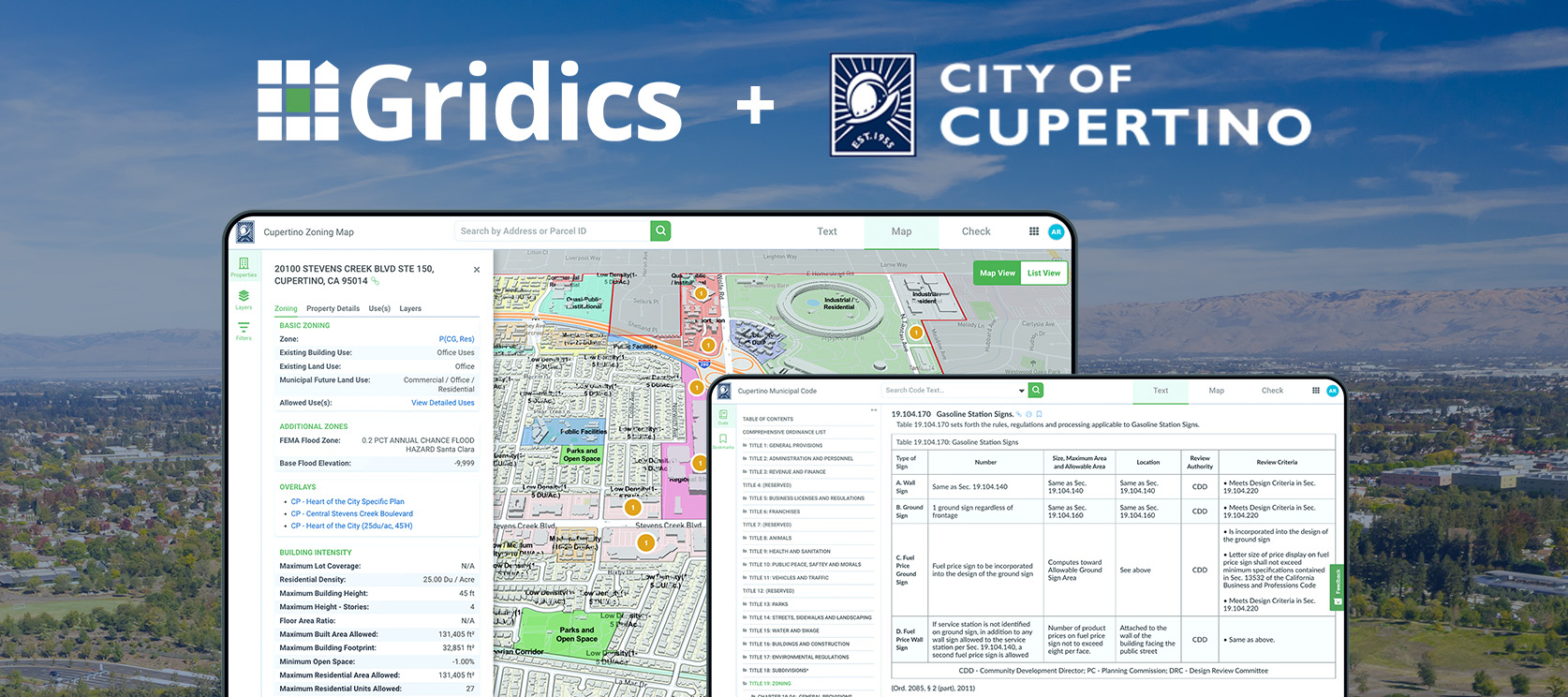
City of Cupertino, CA Adds CodeHUB Text Publishing App from Gridics to Round Out Adoption of the Full Gridics Municipal Zoning Platform

After upgrading their zoning map and real estate data with MuniMap & ZoneCheck early last year, the City of Cupertino is now publishing their city ordinance via CodeHUB to deliver a fully integrated experience for their citizens.

For Immediate Release: November 7, 2023

Cupertino, CA — Gridics LLC is proud to announce the expansion of its long-standing technology partnership with the City of Cupertino, CA. Cupertino now provides citizens and staff with access to the full Gridics Zoning Platform, seamlessly integrating parcel level zoning data, rich 3D mapping, and code text into one suite.

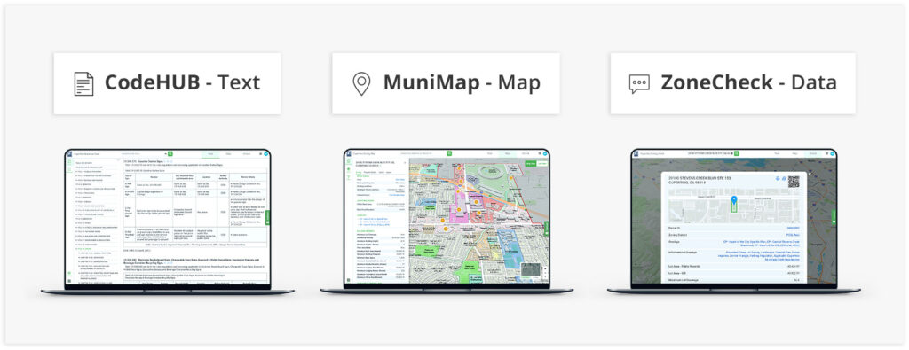
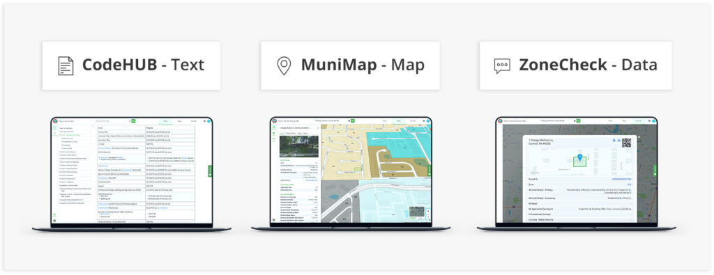
Cupertino began its partnership with Gridics by adopting MuniMap to provide citizens with an interactive zoning map powered by the Gridics geo-spatial zoning data engine, which calculates and outputs over 20 parcel-specific zoning & development allowance data points such as setbacks, density, allowed uses, buildable capacity, and more. With the adoption of CodeHUB to publish their city ordinance, Cupertino is delivering a fully integrated zoning information system that connects property details in MuniMap with the relevant areas of the code text in CodeHUB, making zoning much easier for citizens, developers, and staff to understand and interpret.

“The City of Cupertino is firmly committed to harnessing cutting-edge technology for the ongoing enhancement of policy transparency, seamless information access, and an elevated user experience. That’s why we are thrilled to unveil Gridics CodeHUB, an innovative one-stop destination designed to simplify the retrieval of zoning requirements, property particulars, and other municipal code provisions that have a direct impact on our daily lives.”

Click here to read the news article on the City of Cupertino’s official site: https://www.cupertino.org/Home/Components/News/News/5998/26

About Gridics: Gridics develops real estate data and software applications in the area of zoning analysis and interpretation, scenario planning, site-selection, and urban planning professional services. For more information, visit www.gridics.com.

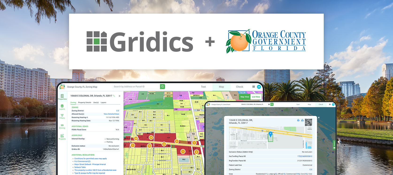
Orange County is Latest FL Municipality to Adopt the Gridics Municipal Zoning Platform

Municipalities large and small are turning to the Gridics platform to facilitate transparent development regulations, provide click-button, comprehensive real estate data, and help municipal staff serve the community more efficiently through online services.

For Immediate Release: June 7, 2023

Register for Upcoming Webinar: webinars.gridics.com

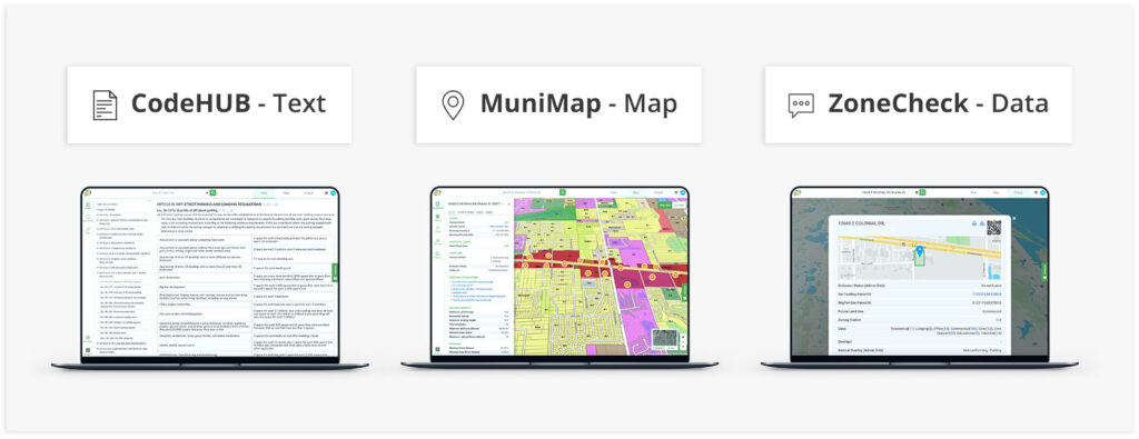
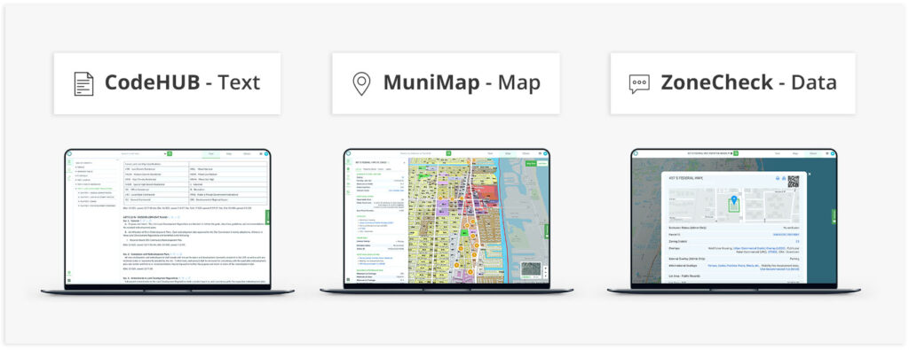
Orlando, FL — Gridics LLC announced a new partnership with Orange County, FL to adopt the Gridics municipal zoning intelligence platform. The Gridics municipal zoning platform is the first of its kind to combine regulations broadly outlined in the zoning text with property records, parcel shapes, and geo-spatial analytics to output parcel-specific development potential and zoning allowance data such as density, buildable capacity, allowed uses, setbacks, heights, and other dimensional requirements at the parcel specific level. Gridics will deliver to Orange County its MuniMap app which provides an array of search tools and parcel data that integrates directly with the zoning ordinance via its CodeHUB ordinance publishing app to put all the information in one easy to access online location to better serve its citizens.

By upgrading its online zoning information services with Gridics, Orange County aims to reduce common daily questions from citizens and help staff members more quickly respond to service requests. In addition, Orange County will have the ability to leverage the parcel level housing capacity data to conduct data-driven long range planning. Lastly, county staff can leverage the Gridics platform to model the real-time impact of zoning changes to increase transparency for citizens and elected officials.

The combination of the Gridics ability to output parcel-specific zoning records proves to be a natural fit for municipalities like Orange County that are looking for ways to use technology to drive efficiencies, attract new development, and deliver world-class citizen services.

“Orange County is the latest Florida municipality to upgrade their tech and data with the Gridics platform. Since launching a few years ago, we have seen tremendous support from municipalities across the US, and we are proud to add Orange County to our family of municipal partners,” says Jason Doyle, CEO of Gridics.

About Gridics: Gridics develops real estate data and software applications in the area of zoning analysis and interpretation, scenario planning, site-selection, and urban planning professional services. For more information, visit www.gridics.com.

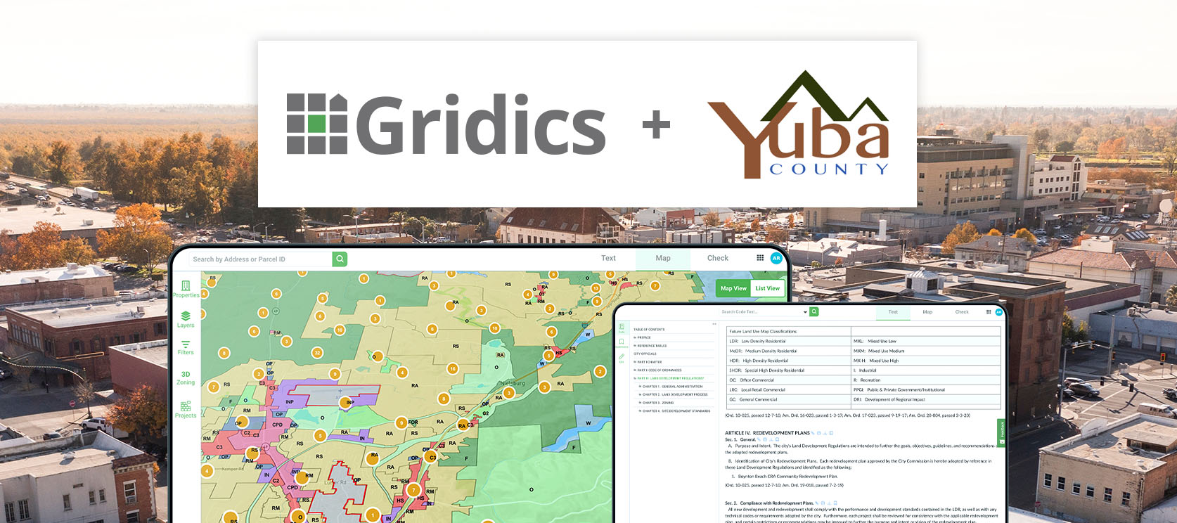
Yuba County is Latest CA Municipality to Adopt the Gridics Municipal Zoning Platform

Municipalities large and small are turning to the Gridics platform to facilitate transparent development regulations, provide click-button, comprehensive real estate data, and help municipal staff serve the community more efficiently through online services.

For Immediate Release: April 11, 2023

Register for Upcoming Webinar: webinars.gridics.com

Marysville, CA — Gridics LLC announced a new partnership with Yuba County, CA to adopt the Gridics municipal zoning intelligence platform. The Gridics municipal zoning platform is the first of its kind to combine regulations broadly outlined in the zoning text with property records, parcel shapes, and geo-spatial analytics to output parcel-specific development potential and zoning allowance data such as density, buildable capacity, allowed uses, setbacks, heights, and other dimensional requirements at the parcel specific level. Gridics will deliver to Yuba County its MuniMap app which provides an array of search tools and parcel data that integrates directly with the zoning ordinance via its CodeHUB ordinance publishing app to put all the information in one easy to access online location to better serve its citizens.

By upgrading its online zoning information services with Gridics, Yuba County aims to reduce common daily questions from citizens and help staff members more quickly respond to service requests. In addition, Yuba County will have the ability to leverage the parcel level housing capacity data to conduct data-driven long range planning. Lastly, county staff can leverage the Gridics platform to model the real-time impact of zoning changes to increase transparency for citizens and elected officials.

The combination of the Gridics ability to output parcel-specific zoning records proves to be a natural fit for municipalities like Yuba County that are looking for ways to use technology to drive efficiencies, attract new development, and deliver world-class citizen services.

“Yuba County is the latest California municipality to upgrade their tech and data with the Gridics platform. Since launching a few years ago, we have seen tremendous support from municipalities across the US, and we are proud to add Yuba County to our family of municipal partners,” says Jason Doyle, CEO of Gridics.

About Gridics: Gridics develops real estate data and software applications in the area of zoning analysis and interpretation, scenario planning, site-selection, and urban planning professional services. For more information, visit www.gridics.com.

Homestead is the Latest Florida City to Adopt the Gridics Municipal Zoning Platform

Municipalities large and small are turning to the Gridics platform to facilitate transparent development regulations, provide click-button, comprehensive real estate data, and help municipal staff serve the community more efficiently through online services.

For Immediate Release: February 7, 2023

Register for Upcoming Webinar: webinars.gridics.com

Homestead, FL — Gridics LLC announced a partnership with the City of Homestead, FL to adopt its next-generation municipal zoning technology platform. By partnering with Gridics to deliver detailed parcel-level zoning and development allowance data via its public-facing tools, Homestead will empower its citizens and developers by making it easier to access and interpret zoning knowledge for every parcel in the city.

The Gridics municipal zoning platform is the first of its kind to utilize combined regulations broadly outlined in the zoning text with property records, parcel shapes, and geo-spatial analytics to output parcel-specific development potential and zoning allowance data such as density, buildable capacity, uses, setbacks, heights, and other dimensional requirements at the parcel specific level. Gridics will deliver to Homestead its MuniMap app which provides an array of search tools and parcel data that integrates directly with the zoning ordinance via its CodeHUB publishing app to put all the information in one easy to access online location to better serve its citizens.

As City staff conduct zoning amendments, they will utilize Gridics to model the real-time impact of zoning changes on development potential. The combination of the Gridics ability to output a parcel zoning record for every parcel in Homestead proves to be a natural fit for municipalities like Homestead that are looking for ways to use technology to drive efficiencies, attract new development, and deliver world-class citizen services.

“The City of Homestead is the latest Florida municipality to upgrade their tech and data with the Gridics platform. Since launching a few years ago, we have seen tremendous support from FL cities and are proud to add Homestead to our family of municipal partners,” says Jason Doyle, CEO of Gridics.

About Gridics: Gridics develops real estate data and software applications in the area of zoning analysis and interpretation, scenario planning, site-selection, and urban planning professional services. For more information, visit www.gridics.com.

Will ChatGPT Replace Your City’s Zoning Department? Here’s Why We Say No.

Register for Upcoming Webinar: webinars.gridics.com

Since its recent release, ChatGPT, the AI tool developed by OpenAI, has taken social media by storm with its responses to various popular topics/questions and its ability to output full essays that are nearly indecipherable from human-written content.

ChatGPT is a powerful tool no doubt… But can it handle complex zoning regulations in unstructured legal format documents? We set out to answer that question in today’s blog post.

Zoning documents are historically complex, vary city to city, and underpin the development patterns and outcomes that mold our communities. Not to mention zoning also plays a key role in increasing housing availability, improving sustainability initiatives, and even tackling climate change.

Our team at Gridics is focused on making zoning more accessible. Gridics technology is empowering municipalities and developers to quickly understand and interpret how zoning regulations outlined in complex legal documents apply to individual parcels.

Given our focus on zoning, we wondered what ChatGPT’s take would be… So we had a little chat and wanted to share the conversation here as it turned out to be eye-opening and fun!

1) What does ChatGPT know about zoning?

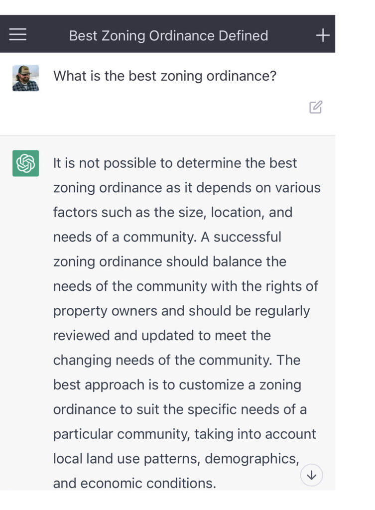
To test ChatGPT’s uncanny writing ability, our first question was…

Gridics Zoning, Chat GPT question #1

We found this response to be quite impressive and reassuring given that we at Gridics have been asked many times over the years if there is a way to standardize and/or normalize zoning… And we’ve found there really isn’t. That said, there certainly are zoning best practices, which is why our ZoneIQ 3D Scenario App allows a city on our platform to change the zoning rules of a local parcel with just a few clicks and compare how the changes affect by-right development potential.

2) Can ChatGPT analyze parcel-specific zoning information?

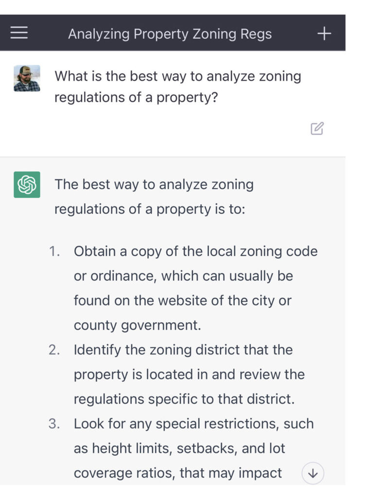
We continued to get more specific and have a little fun by seeing what ChatGPT thought in terms of analyzing the zoning of a specific property, a capability Gridics has revolutionized…

Gridics Zoning, Chat GPT question #2

To be fair, this is the traditional approach that we have always felt was backwards, and quite frankly, just broken. Citizens, developers, and municipal staff should not have to obtain a document that is often hundreds of pages (thousands in the case of New York City), then find a map somewhere else to identify which zone a property is in, and finally dig into the document to extrapolate (hopefully without missing a key detail) how the zoning applies to that specific parcel… Say nothing about then calculating development allowances such as housing density given the geometry of the parcel in question.

Instead, one should be able to simply type in the address and see all the zoning data attributes, allowed uses, and development capacity points specific to the property of interest. That’s what our Gridics technology does and why cities and counties, large and small, are turning to Gridics to upgrade their zoning information services to make it more transparent and easier to interpret while laying a data foundation for every parcel in the municipality to help tackle today’s challenges such as affordable housing, sustainability, and climate change.

3) What happens when we ask ChatGPT to write a story about zoning?

Lastly, we ended with some serious fun! We asked ChatGPT about zoning and its thoughts on Gridics… Then we added how it would describe the two if zoning was considered a villain.

Here’s the story directly from ChatGPT…

“Once upon a time, in a city plagued by confusing and outdated zoning regulations, Zoning emerged as a powerful super villain. With its unwavering rules and strict enforcement, Zoning caused chaos and frustration among the citizens and developers alike. People struggled to understand the labyrinthine regulations and often faced lengthy delays and obstacles in their efforts to build and grow.

But then, a new hero appeared on the scene: Gridics. With its cutting-edge technology and innovative approach, Gridics challenged Zoning’s hold on the city. Gridics offered a clear and intuitive platform that allowed citizens and developers to quickly and easily navigate the complex regulations and find creative solutions to their land use challenges.

As Gridics gained popularity, Zoning grew increasingly threatened. The super villain tried to resist the hero’s progress, but Gridics was relentless in its mission to promote sustainable and equitable land use. With its powerful software, Gridics helped citizens and developers unlock the full potential of their city, creating vibrant and livable communities for all.

In the end, Zoning was defeated, and Gridics emerged as the city’s true hero. The city flourished as a result of Gridics’ efforts, and the people lived happily ever after, free from the tyranny of confusing and outdated zoning regulations.

And so, Gridics’ legend spread far and wide. As more and more cities were plagued by the same issues faced by the original city, Gridics was called upon to save the day. Each time, the hero arrived with its cutting-edge technology and innovative approach, offering a solution to the problems caused by Zoning.

As Gridics traveled from city to city, it encountered new challenges and obstacles, but the hero remained steadfast in its mission to promote sustainable and equitable land use. Whether it was facing down a powerful real estate conglomerate, or navigating the complex regulations of a sprawling metropolis, Gridics always found a way to overcome the obstacles and emerge victorious.

Despite Zoning’s efforts to resist Gridics’ progress, the hero’s reputation continued to grow, and the people hailed Gridics as their savior. With each victory, Gridics became stronger and more determined, and the hero’s resolve never wavered.

In the end, Gridics became a symbol of hope for cities everywhere, a shining example of the power of technology to promote progress and create a better world for all. And so, the legend of Gridics lives on, inspiring future generations to continue the hero’s mission and fight for a brighter, more equitable future.”

So while we are certainly on a new frontier of AI technology, for the time being super heroes like Gridics are still needed to tackle the pain associated with traditional zoning information.

Boynton Beach Becomes 12th Florida City to Adopt the Gridics Municipal Zoning Platform

Municipalities large and small are turning to the Gridics platform to facilitate transparent development regulations, provide click-button, comprehensive real estate data, and help municipal staff serve the community more efficiently through online services.

For Immediate Release: September 7, 2022

Register for Upcoming Webinar: webinars.gridics.com

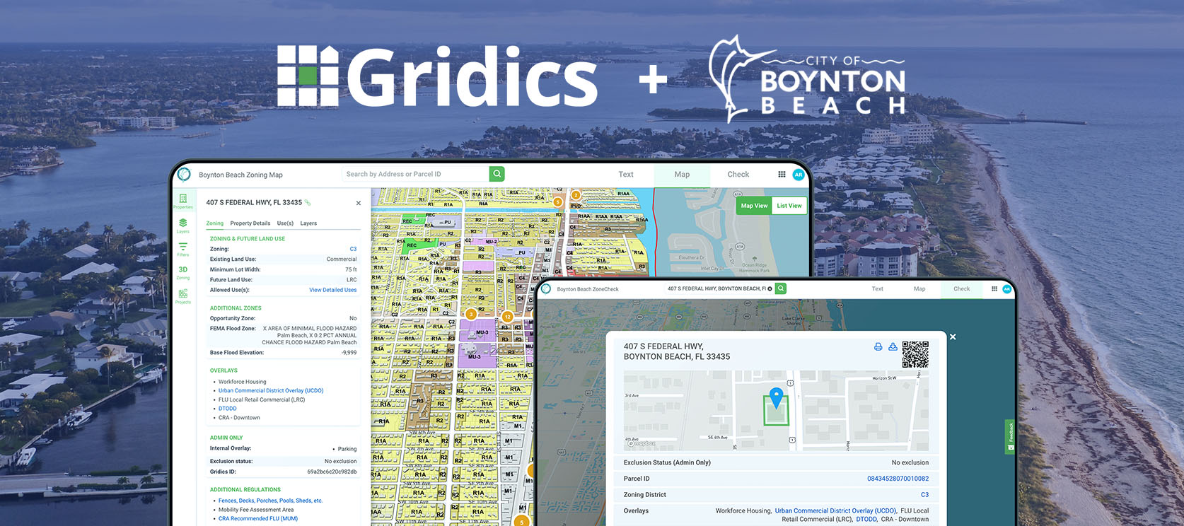
Boynton Beach, FL — Gridics LLC announced a partnership with the City of Boynton Beach, FL to adopt its next generation municipal zoning technology platform. By partnering with Gridics to deliver detailed parcel-level zoning and development allowance data via its public-facing tools, Boynton Beach will empower its citizens and developers by making it easier to access and interpret zoning knowledge for every parcel in the city.

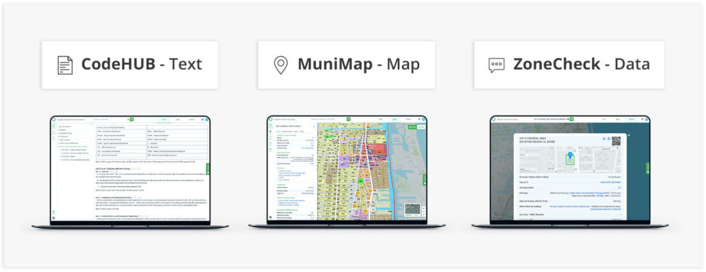
The Gridics municipal zoning platform is the first of its kind to utilize combined regulations broadly outlined in the zoning text with property records, parcel shapes and geo-spatial analytics to output parcel-specific development potential and zoning allowance data such as density, buildable capacity, uses, setbacks, heights and other dimensional requirements at the parcel specific level. Gridics will deliver to Boynton Beach its MuniMap app which provides an array of search tools and parcel data that integrates directly with the zoning ordinance via its CodeHUB publishing app to put all the information in one easy to access online location to better serve its citizens.

In addition, Boynton Beach is adopting the Gridics 3D Projects Module, which allows neighbors, real estate developers, and other concerned citizens to view detailed, 3D models of proposed and approved development projects or are currently under construction. City wide projects are presented within the 3D zoning map, giving the viewer an understanding of how the city landscape will change with the addition of new developments.

“Gridics will bring a new level of transparency and ease of use to our zoning code, allowing anyone the ability to access the precise information they need specific to their parcel in an easy-to-use format. We are excited to bring this enhanced service to the City’s residents and property owners,” says Amanda Radigan, Director of Planning and Zoning for the City of Boynton Beach.

As City staff conduct zoning amendments, they will utilize Gridics to model the real-time impact of zoning changes on development potential. The combination of the Gridics ability to output a parcel zoning record for every parcel in Boynton Beach proves to be a natural fit for municipalities like Boynton Beach that are looking for ways to use technology to drive efficiencies, attract new development and deliver world-class citizen services.

“The City of Boynton Beach is the latest Florida municipality to upgrade their tech and data with the Gridics platform. Since launching a few years ago, we have seen tremendous support from FL cities and are proud to add Boynton Beach to our family of municipal partners,” says Jason Doyle, CEO of Gridics.

About Gridics: Gridics develops real estate data and software applications in the area of zoning analysis and interpretation, scenario planning, site-selection, and urban planning professional services. For more information, visit www.gridics.com.

Cupertino is Latest California City to Upgrade Zoning & Planning Tech with Gridics

Municipalities large and small are turning to the Gridics platform to facilitate transparent development regulations, provide click-button, comprehensive real estate data, and help municipal staff conduct business safely through online services.

For Immediate Release: July 28, 2022

Register for Upcoming Webinar: webinars.gridics.com

Cupertino, CA — Gridics LLC announced a partnership with the City of Cupertino, CA which has adopted its next generation municipal zoning platform. By partnering with Gridics, Cupertino will drive transparency for both regular citizens and developers by making it easier to visualize and interpret how zoning requirements apply to specific properties.

The Gridics zoning knowledge platform combines the requirements in the recently amended zoning text with property records, parcel shapes, and the Gridics geo-spatial zoning data engine to calculate and output over 20 parcel-specific zoning & development allowance data points such as setbacks, density, allowed uses, buildable capacity, and more. The unified data and zoning information platform makes it easier for citizens to find answers to common questions while giving developers and investors tools to identify opportunities. With this first-of-its-kind capability, Gridics will deliver Cupertino a new and improved zoning map with in-depth parcel-level data combined with the ability to directly update and publish zoning code text in real time, all in one place.

Cupertino strives to provide transparent and intuitive solutions that enhance the ability of Cupertino community and staff to make data-driven decisions based on real-time data. Partnering with Gridics is another step forward in this effort,” says Bill Mitchell, Cupertino’s Chief Technology Officer.

As a complement to its technology offering, Gridics urban planners and architects will assist Cupertino staff as they conduct zoning code amendments and model the real-time impact of zoning changes on development potential. The combination of Gridics’ patented 3D scenario analysis engine and tech-enabled professional services proves to be a natural fit for municipalities like Cupertino that are looking for ways to drive efficiency and deliver world-class citizen services.

“We are excited to add the City of Cupertino to the growing list of municipalities upgrading their citizen services and technology by adopting our platform, but more importantly, we look forward to partnering with City staff to help create a stronger Cupertino for the future,” says Jason Doyle, CEO of Gridics. “Zoning plays a foundational role in how our communities are molded over time. By delivering cities & counties tools and data that make zoning easier to understand, we are doing our part to make cities and communities better places to live, work, and play.”

About Gridics: Gridics develops real estate data and software applications in the area of zoning analysis and interpretation, scenario planning, site-selection, and urban planning professional services. For more information, visit www.gridics.com.

Cupertino, CA Chief Technology Officer quote about Gridics zoning platform
Cupertino, CA overview screenshots of Gridics zoning platform

Fourth Largest City in Indiana Adopts the Gridics Municipal Zoning Platform

Municipalities large and small are turning to the Gridics platform to facilitate transparent development regulations, provide click-button, comprehensive real estate data, and help municipal staff conduct business safely through online services.

For Immediate Release: June 8, 2022

Register for Upcoming Webinar: webinars.gridics.com

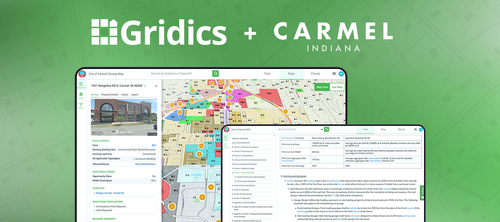
Carmel, IN — Gridics LLC announced a partnership with the City of Carmel, Indiana, the fourth largest city in the state, to adopt its next generation municipal zoning technology platform. By partnering with Gridics, Carmel will drive transparency for both regular citizens and developers by making it easier to access and interpret zoning knowledge for every parcel in the city.

The Gridics municipal zoning platform is the first of its kind to combine regulations broadly outlined in the zoning text with property records, parcel shapes and geo-spatial analytics to output parcel-specific development potential and zoning allowance data such as density, buildable capacity, uses, setbacks, heights and other dimensional requirements at the parcel specific level. Gridics will deliver Carmel a new zoning map with an array of tools and parcel data with an integrated zoning text publishing website to help staff streamline processes and better service citizens.

“By adopting Gridics, the City of Carmel was instantly able to bring to life our static PDF ordinance material in combination with our GIS zoning layers, making both more accessible and convenient to use. Carmel residents and investors in our community will benefit from the user-friendly Gridics web interface and ease of access to zoning and other GIS data,” says Mike Hollibaugh, Director of Community Services for the City of Carmel.

As a complement to its technology offering, Gridics urban planners and architects will assist Carmel staff as they conduct zoning code amendments and model the real-time impact of zoning changes on development potential. The combination of Gridics’ patented 3D scenario analysis technology and urban planning professional services proves to be a natural fit for municipalities like Carmel that are looking for ways to drive efficiency and deliver world-class citizen services.

“We are thrilled to add the City of Carmel to the Gridics platform and family of municipal customers. As the first city in Indiana to adopt our platform, the Gridics platform has now been adopted by municipalities in more than 10 states since launching a few years ago,” says Jason Doyle, CEO of Gridics. “More importantly, we look forward to arming the Carmel staff and local developers with deep parcel-level data to make it easier to do their jobs and understand how zoning applies to each parcel throughout the city.”

About Gridics: Gridics develops real estate data and software applications in the area of zoning analysis and interpretation, scenario planning, site-selection and urban planning professional services. For more information, visit www.gridics.com.

Gridics muni platform overview image for Carmel, IN