Request Demo

Learn How Major Cities Analyze Zoning Feasibility & Reduce Plan Review Backlogs

Over the past month, we’ve hosted city governments from 25+ states on our webinars to discuss the future of 3D zoning and planning.  Major metropolitan areas like the City of Miami are already using Gridics to improve their planning department processes.

Sound like something that could be a fit for your municipality, law firm, architecture firm, or development organization?

Join us on Wednesday, July 26th at 10am OR 1pm EDT for a free 30 min. webinar:  http://webinars.zonar.city/

We’ll be giving you a behind the scenes look at the Gridics 3D zoning code management platform and covering valuable topics including how to:

  • Conduct faster & more accurate development plan reviews
  • Visualize 3D zoning capacity in real time
  • Test new zoning scenarios to improve development patterns
  • Improve transparency with the public

See you on Wednesday!

The Best Way to See How Planning Experts Are Analyzing Zoning Codes

We’re back after the holiday for two 30 min. sessions to review the future of zoning and planning.  No matter if you’re a urban planner, architect, developer, land use attorney, commercial broker, this is your chance to get ahead of the competition.

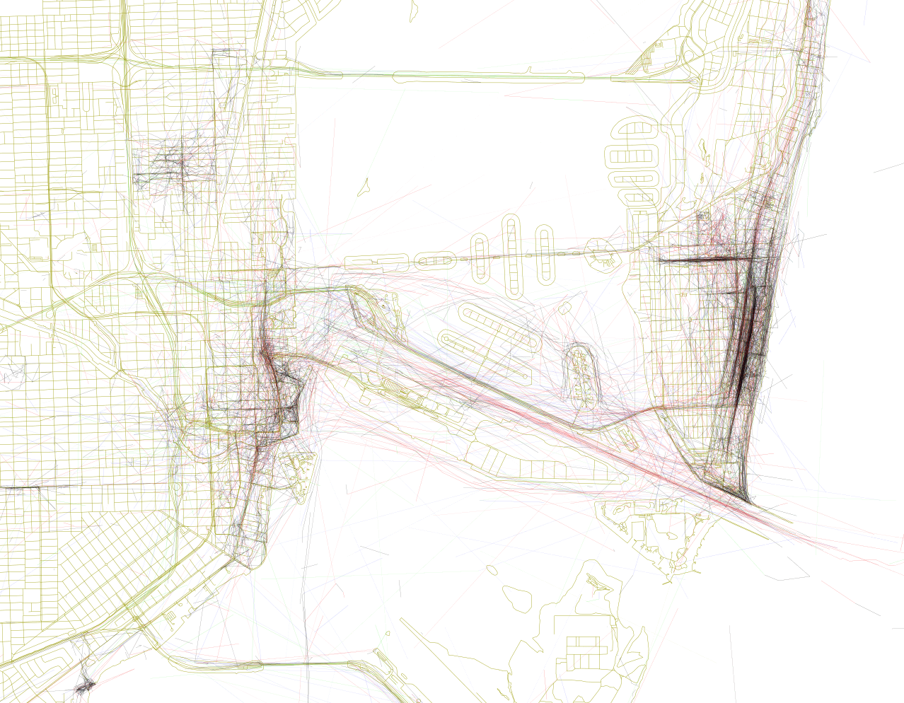
A few months ago, the City of Miami became the first global municipality to incorporate a site-specific and digitized zoning code software into their workflow.  We’re confident your organization can become just as efficient, and we want to show you how.  The future of 3D zoning and planning is here.

Join us on Tuesday, July 11th at 10am OR 1pm EDT for a free 30 min. webinar:  http://webinars.zonar.city/

We’ll be giving you a behind the scenes look at the Gridics 3D zoning management platform and covering valuable topics including how to:

  • Conduct faster & more accurate development plan reviews
  • Visualize 3D zoning capacity in real time
  • Test new zoning scenarios to improve development patterns
  • Improve transparency with the public

See you on Tuesday!

Checking in on Lots of New Construction In and Around Downtown Miami

Just as the condo market begins to soften, construction in and around Miami’s urban core is continuing at a pace not seen since the crash of 2008 and the Great Recession ground everything to halt, with lots of buildings well underway or just breaking ground. Photographer Phillip Pessar surveys the damage.

Continue reading “Checking in on Lots of New Construction In and Around Downtown Miami”

Here’s a Closer Look at PlusUrbia’s Design for a Grand Arsht Center Plaza

Town Square Neighborhood Development Corp., a nonprofit chaired by developer Armando Codina that advocates for the master planning of the neighborhood around the Adrienne Arsht Center for the Performing Arts, recently unveiled plans for a public plaza directly to the center’s south designed by local architecture firm PlusUrbia that would connect the Arsht to the rest of Downtown Miami and serve as a public front door to the institution. The Herald unveiled the plans on January 29th, but additional renderings that Gridics received from PlusUrbia (which were approved by TSNDC but not published) give a closer look at the design.

Continue reading “Here’s a Closer Look at PlusUrbia’s Design for a Grand Arsht Center Plaza”

A Geotagger’s Atlas of Miami’s (and the World’s) Most Photographed Places

By recording ten years of Flickr photo geotags and drawing lines between them, Mapmaker Eric Fischer has used the Flickr API to create The Geotagger’s World Atlas, a beautiful map of the most photographed places in the world. Aside from comparing global cities (the map of London is a beauty), his map shows what Flickr users find most interesting about Miami through clusters of lines.

Continue reading “A Geotagger’s Atlas of Miami’s (and the World’s) Most Photographed Places”

FDOT Proposes to Bury I-395 and Biscayne Boulevard on Top of Each Other

An idea that has been floating around for a whilte, to bury both I-395 and Biscayne Boulevard in a part of Downtown Miami, has just gotten the look-over by the Florida Department of Transportation, which prepared a report on the feasability on their version of the plan. That version would only bury a few blocks of I-395, replacing the ‘signature bridge’ which FDOT is currently planning, as well as the bloicks from the northern edge of Museum Park to the opposite side of the Arsht Center, actually widdening Biscayne in front of the park to accomodate extra lanes leading to a local road and traffic circle above.  

Continue reading “FDOT Proposes to Bury I-395 and Biscayne Boulevard on Top of Each Other”

2016-01-21 17:22:29 -0500

Claiming your project will have the ‘next Lincoln Road’ is a popular pasttime among Miami developers. Craig Robins has said that the Miami Design District’s Paseo Ponti will be Lincoln Road meets Bal Harbour Shops. The Related Group’s plan to pedestrianize South Miami Avenue through Brickell is modeled after Lincoln Road, with its mix of shops and restaraunts. Miami Worldcenter’s pedestrian streets have already been described as copies of Lincoln Road, while the planned Mall at Miami Worldcenter, now that it has been converted from a traditional enclosed mall to an exterior pedestrian mall, sounds even more Lincoln Road-ish than ever.

Continue reading “2016-01-21 17:22:29 -0500”