Think about the last time a citizen called, emailed, or walked up to the counter with a question about zoning on their property. Chances are, answering it well meant real digging: checking a map, searching an ordinance that runs hundreds of pages, maybe doing some math on parcel dimensions. You wanted to give them a fast, confident answer, and the tools available probably didn’t make that easy.
That’s not a reflection on the people doing the work. Planning and zoning staff are some of the most knowledgeable people in local government, and they’re doing that work with systems that were built for a different era. Zoning regulations are inherently complicated, starting from the fact that all regulations are drafted at the district level but are meant to be applied at the parcel level, and the tools most cities rely on to communicate them haven’t kept pace.
The result: citizens get frustrated because they can’t find clear answers on their own, and that frustration lands on staff’s desk as calls, emails, and counter visits. Across the country, this adds up to hundreds of thousands of dollars a year in staff time (millions in larger cities), time that could otherwise go toward reducing permit costs and approval times instead of repeating the same explanations over and over.
So what would actually help? There are three pieces of information every citizen needs in order to answer their own zoning questions:
- The Zoning Map
- The Zoning Ordinance
- The Property or Parcel Shape
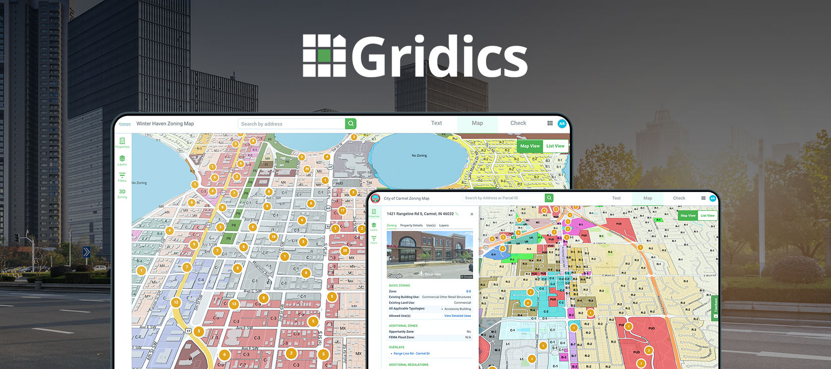
Let’s start with the map, since this is usually where the friction begins. When someone has a zoning question, they usually have a specific property in mind. Ideally, they could type in an address or click a parcel and immediately see everything relevant to that property without ever opening the ordinance. Most systems don’t quite get them there. Roughly 85% of municipalities use Esri’s ArcGIS to publish a zoning map; most of the rest publish a static PDF. Neither was really built to answer a citizen’s specific question about a specific property, and that’s more a limit of the tools than anything staff has done.
Here are some questions worth sitting with, regardless of what platform a city is on:
- Is the map easy to use and navigate?
- Does it have an address search? (PDFs can’t offer this at all.)
- If it does, what information comes back? Just the zone? What about overlays? An address search doesn’t help much if it can’t actually answer the question someone came to ask.
- Do the map and ordinance connect, so citizens can go straight from a parcel to the relevant section of the code?
- Does it show the data people actually ask about, like setbacks, height, allowed uses, buildable units, fence regulations, variance options, and permit history?
- Does it show overlays?
- Does it pull in information from the permitting system?
- Is there an AI chat tool that lets citizens ask questions in plain language and get an answer tied to that property?
Most cities and counties, understandably, can only say yes to one or two of these today, not because anyone did anything wrong, but because these capabilities have only recently become possible, and rolling them out takes the right platform. Imagine what it would mean for your team to say yes to all of them: fewer repetitive questions, and more time for the work only your staff can do.
Now, the ordinance. Most municipalities publish through services like MuniCode or AmLegal, which do a solid job of hosting the full code but weren’t really designed to isolate zoning for a citizen in a hurry. A citizen first has to find the zoning and land use section buried among many others. Some cities are still working with lengthy PDFs, and when someone opens a document that runs hundreds of pages, it’s understandable that they give up and call the office instead.
A few honest questions worth asking:
- How long does it take for a zoning change to show up in the version citizens see? Zoning ordinances change more often than the core municipal code, and if citizens are working from an outdated version, it can lead to permitting errors, revisions, and wasted time on both sides.
- Can staff publish adopted changes in real time, without waiting on a third party? For most cities, the honest answer is no, and that’s a vendor limitation, not a staff one.
- Is there a way for citizens to ask questions directly and get pointed to the right section, while staff can see what questions are actually being asked?
The third piece is the parcel geometry, the actual shape and size of the property. This matters most to developers, investors, and real estate professionals trying to assess what’s feasible on a site. Two properties with identical zoning can allow very different outcomes depending on their size and shape. Citizens and applicants can work this out manually, but it takes time, and making it easier to see up front helps people identify real opportunities and choose to invest in a city.
Every city right now is grappling with housing shortages, rising costs, and pressure to speed up permitting and approvals. No single tool solves all of that. But fragmented zoning information is one piece of it, and it’s one of the more solvable pieces. Moving off legacy systems and toward something that presents zoning information clearly can free up staff time currently spent on repetitive explanation, and can meaningfully shorten how long it takes applicants to get through the process, which benefits everyone involved.
Below is a side-by-side look at how the Gridics AI Zoning Platform compares to a typical legacy setup (MuniCode or AmLegal paired with an ArcGIS map). Think of it less as a scorecard and more as a snapshot of what’s become possible.
| Gridics AI Zoning Platform | MuniCode + ArcGIS Map | |
|---|---|---|
| Does the map have an address search? | Yes | Yes |
| Is the zoning map easy to use and navigate? | Yes | No |
| Is there property-specific zoning data? | Yes | No |
| Do the map and ordinance connect? | Yes | No |
| Does the map show overlays and other relevant GIS layers for each property? | Yes | No |
| Does the map pull property information from the permitting system? | Yes | No |
| 3D visualization? | Yes | No |
| Is the map searchable beyond just the address? | Yes | No |
| Can users export search results to a spreadsheet? | Yes | No |
| Can the map show 3D models of active development projects? | Yes | No |
| Can staff edit ordinance text in real time? | Yes | No |
| Is there an AI chat tool in the ordinance and map? | Yes | No |
If any of this sounds familiar, you’re far from alone, and there’s a better way forward. For a complimentary introduction demo to the Gridics Municipal Zoning Platform, visit https://gridics.com/request-demo/?source=government-solutions