Gridics Product Spotlight – MuniMap: City of Fort Lauderdale, FL
Published: May 20, 2022
MUNIMAP OVERVIEW
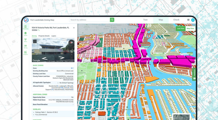
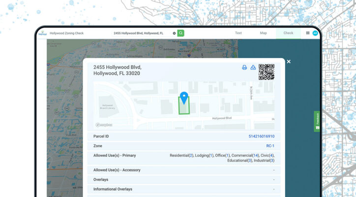
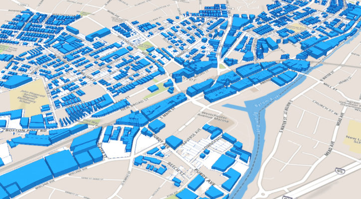
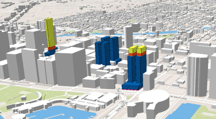
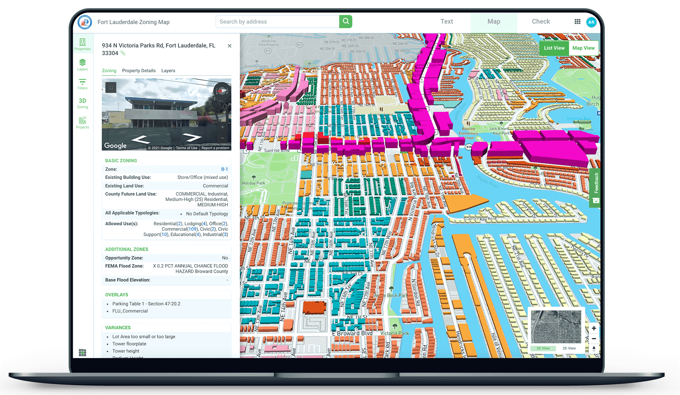
MuniMap is the most advanced 3D zoning and GIS tool on the market. Click on any property in a calibrated municipality to analyze hundreds of parcel-level data points and visualize the zoned development potential of the site in real-time 3D.
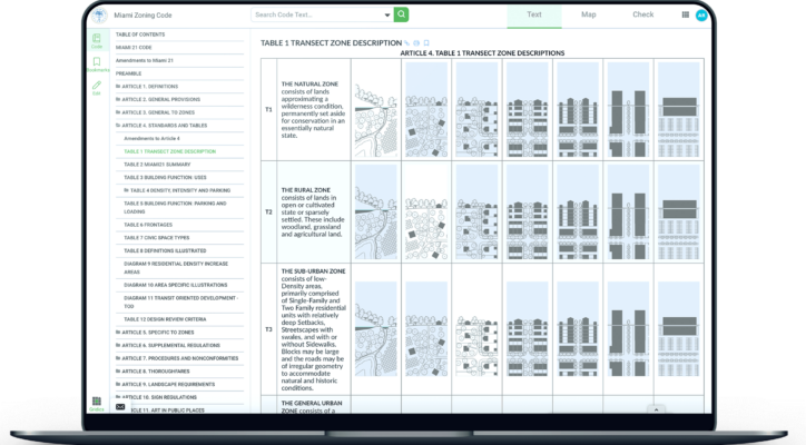
As part of the Gridics platform, MuniMap integrates seamlessly with code text publishing and citizen self-service tools to ensure a municipality’s online zoning resources are always up-to-date.
MUNICIPAL PAIN POINT
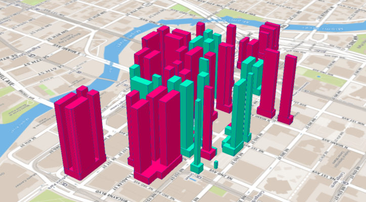
Before the launch of MuniMap, City of Fort Lauderdale staff, developers, and stakeholders struggled to understand the implication of zoning changes on the built environment… Questions like, “What would happen to our skyline if we increased the density of our downtown zone?” stalled decision-making and led to unnecessary plan review bottlenecks.
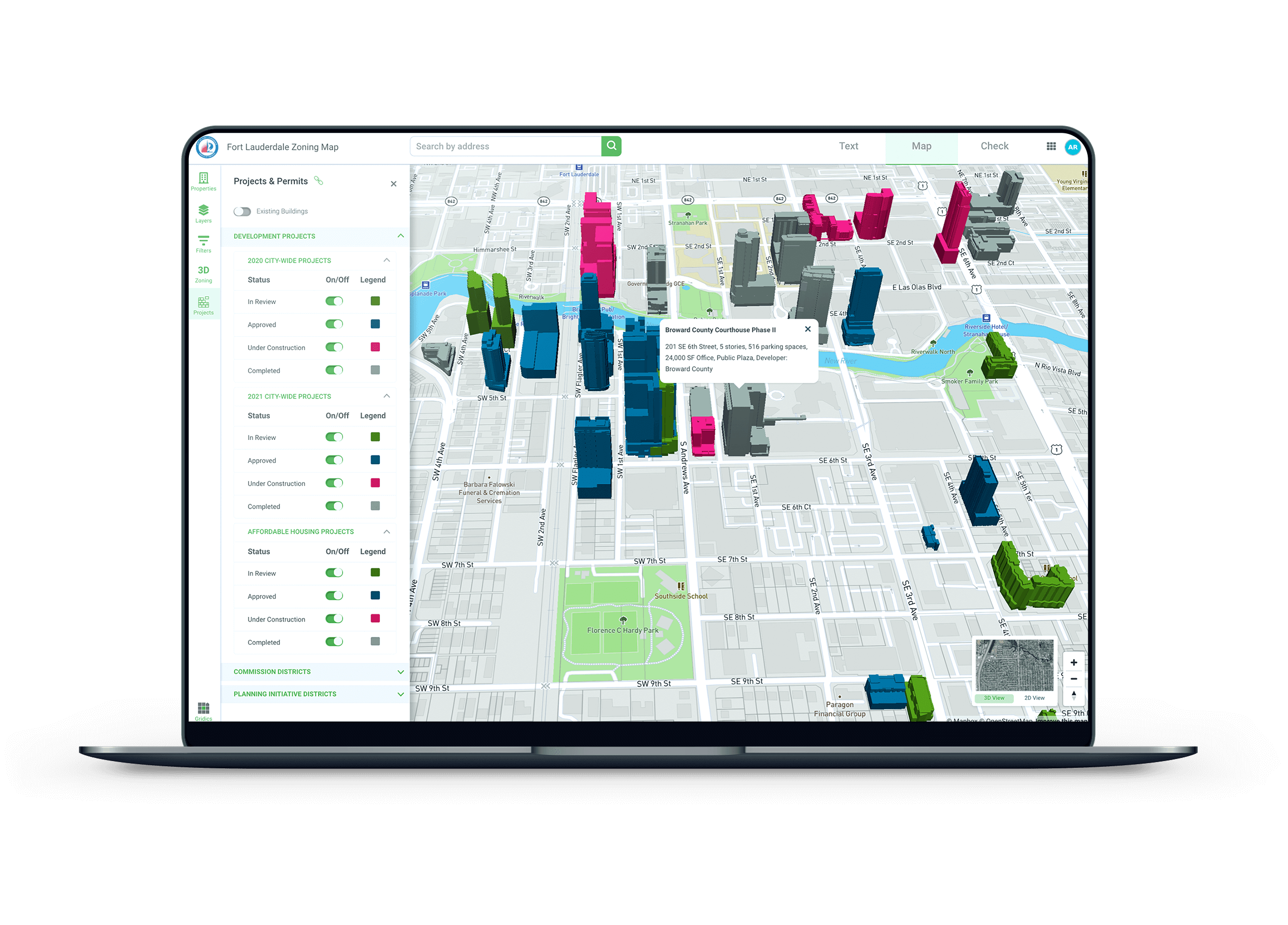
In addition, the private and public sectors alike in Fort Lauderdale had no way of understanding, tracking, and visualizing proposed development projects across the city. Which development projects have already been approved? Where are these projects located? What will they look like? Answering these questions had been met with confusion for years
GRIDICS SOLUTION
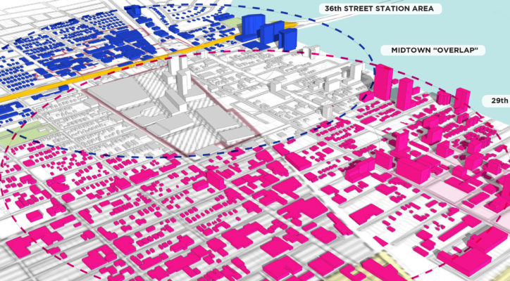
In just a couple weeks, Gridics calculated development capacity data for every parcel in the City of Fort Lauderdale, combined that deep parcel-level data with GIS shapes, zoning districts, and property records, and released the information for public interaction via MuniMap’s visual 3D interface.
Once Fort Lauderdale’s MuniMap instance was live for staff and citizens, Gridics then added a portal giving users the ability to toggle on/off 3D renderings of development projects across the city based on status (proposed, approved, and under construction). MuniMap has brought Fort Lauderdale’s zoning into the 21st century, improved transparency, and given over 20,000 annual users access to the most advanced zoning map available.
- Providing click-button access to development capacity data for any parcel
- Giving staff/stakeholders the ability to test zoning changes in real-time 3D
- Improving zoning transparency and remote access to data
- Encouraging new development and streamlining the development review process
- Visualizing the city’s future skyline in 3D
- Decreasing front counter zoning inquiries + reducing zoning management expenses
HOW MUNIMAP CAN WORK FOR YOUR CITY:
Gridics can digitize your municipality’s zoning map whether you adopt our full platform or not. Is your smaller municipality just looking to move from a static map PDF to a digital interface? We can have your map live in a few weeks through MuniMap. Looking to create an immersive GIS mapping experience with rich parcel-level data and visualizations? Look no further. No matter your municipality’s size and unique situation, we can design a MuniMap package to meet the needs of your staff and citizens.
For more information, please visit www.gridics.com or contact info@gridics.com to schedule a quick, no-pressure demo.
“Our partnership with Gridics is an example of the innovative investments we are making to improve services for our neighbors. The Gridics platform will provide staff with the data they need to make more informed and more efficient development decisions so together we can make Fort Lauderdale an even better place to live, work, play and raise a family.”
MUNIMAP
The world’s most advanced, interactive 3D zoning map- Visualize zoned development potential at the parcel, corridor, or entire city level
- Apply customizable GIS layers & visualize any data point your municipality has at its disposal