Infrastructure Capacity & Demand: Millions of Dollars Saved Through Proprietary Development Analysis
Published: March 11, 2020
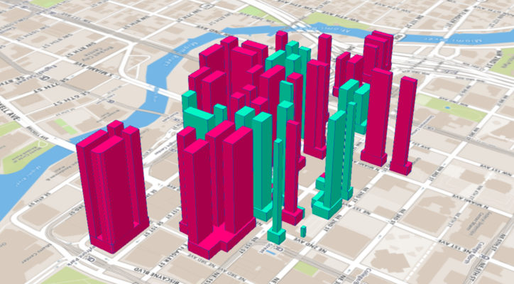
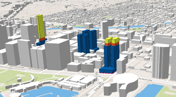
The City of Miami and Miami Downtown Development Authority (DDA) commissioned this study to model the maximum development capacity by-right of the Downtown Historic Area based upon the Miami 21 zoning regulations and allowances.
The ultimate goal of the project is to identify parcels and assemblages most suitable for development and then calculate future infrastructure demand (electricity, water, sewer) given this projected development capacity.
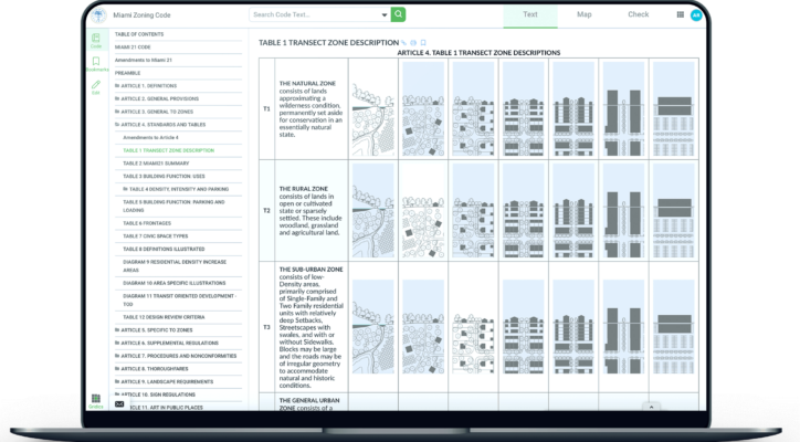
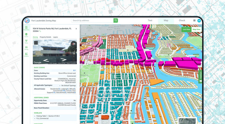
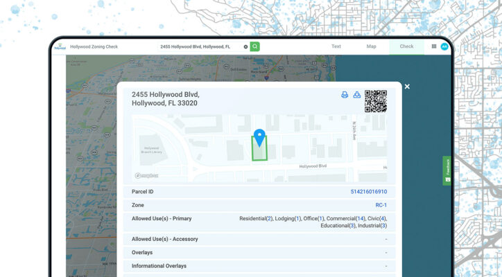
Use of ZoneIQ
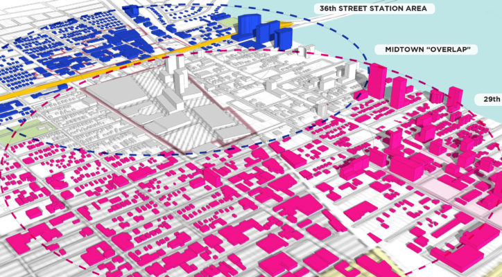
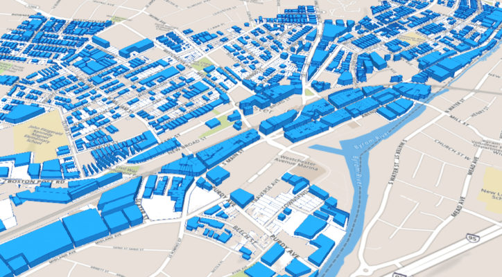
The Gridics team modeled the as-of-right development potential of 600 parcels (including historic properties with TDRs) showing mixed-use square footage, gross buildable area, parking, and more.
All 600 parcels can be visualized with the click of a mouse in our 3D zoning application, ZoneIQ.
Results
This study will likely save the City of Miami and utility companies millions of dollars. By planning for future development in advance, public and private stakeholders are able to put the necessary infrastructure in place now while road improvement projects are already underway. Our analysis will prevent the hassle and financial burden of tearing-up roads down the line to accommodate the infrastructure demand based on new developments. Please navigate here to download the full report: https://discover.gridics.com/flaglerstudy

