
Company News
Gridics brings parcel-level zoning intelligence to an APA conference
Max Zabala represented Gridics at an American Planning Association conference, where the team showed its latest products. The visit offered an opportunity to introduce Gridics’ approach to making complex zoning information easier to explore and use.
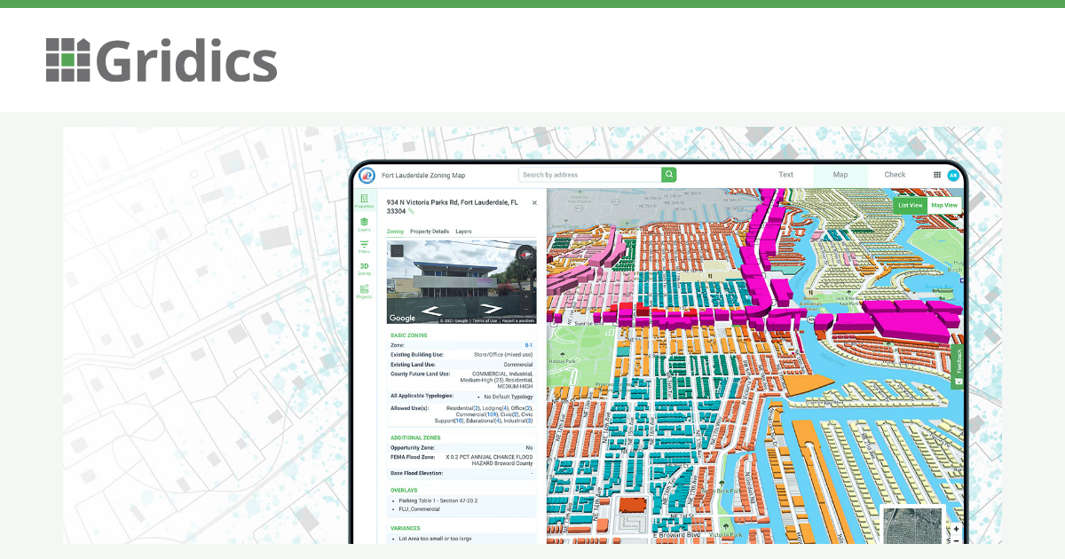
Start with the parcel
For planners, property owners and applicants, a useful first question is often simple: which rules apply here? Gridics connects zoning text, maps and parcel information so users can investigate a property with more context. Better access supports informed conversations before a project reaches formal review.
Tools for clearer planning information
Gridics’ current suite includes CodeHUB for searchable code publishing, MuniMap for interactive mapping and 3D visualization, and ZoneCheck for property-level zoning inquiries. ZoneIQ supports analysis of development potential. These are examples of the wider suite, rather than a confirmed list of the products demonstrated at this event.
The value lies in connecting information that people would otherwise have to assemble from separate sources. A map can show the setting; code text explains the rules; parcel-level data helps bring the two together. Formal interpretations and approvals remain with the responsible authorities.
See the approach in practice
Our Miami CodeHUB case study and Fort Lauderdale MuniMap case study provide concrete examples of Gridics’ work. They illustrate existing applications, without implying conference endorsements or new customer announcements.
Continue the conversation
Thank you to everyone who spent time with Gridics. If you would like to explore how the tools could fit your municipality’s workflow, review our government solutions or request a demonstration. We can start with your questions, your data and the decisions your team needs to support.