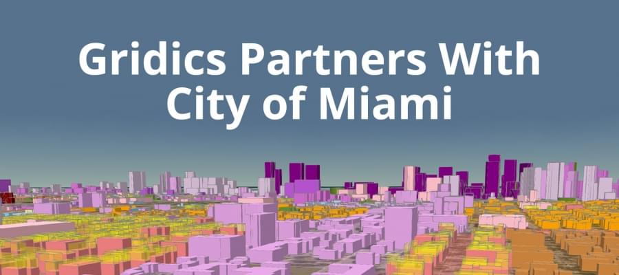
In May 2017, the City of Miami became the world’s first municipality to have a site-specific, digitized zoning code thanks to our Gridics 3D zoning management platform. Miami is now able to visualize zoning codes in 3D, perform real-time scenario analyses, and reduce the plan review backlog — processes that drastically improve the efficiency and transparency of government operations.
We’re quickly expanding to other major US municiplaties and want to explain how Gridics can drive efficiency in your city governments and private organizations as well (architects, developers, urban planners, etc).
Join us on Tuesday, June 13th at 10am OR 1pm for a free 30 min. webinar: http://webinars.zonar.city/
We’ll be giving you a behind the scenes look at the Gridics platform and covering valuable topics including how to:
- Conduct faster & more accurate development plan reviews
- Visualize 3D zoning capacity in real time
- Test new zoning scenarios to improve development patterns
- Improve transparency with the public


